 ;
;

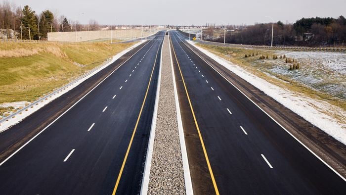
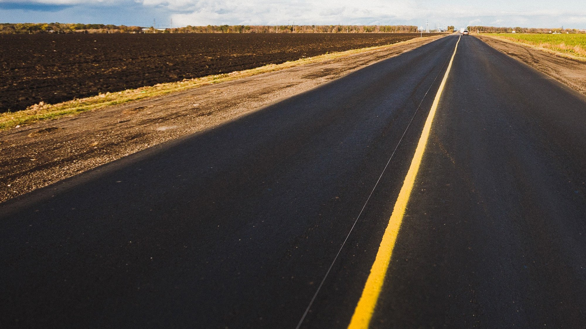
The Pacific Highway connects Sydney and Brisbane in NSW. The Australian and NSW governments have been jointly upgrading the highway to provide a four lane divided road. We have been involved in its upgrade since the beginning, with numerous multidisciplinary commissions across the 20 year period.
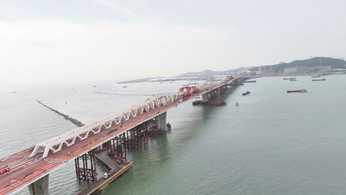
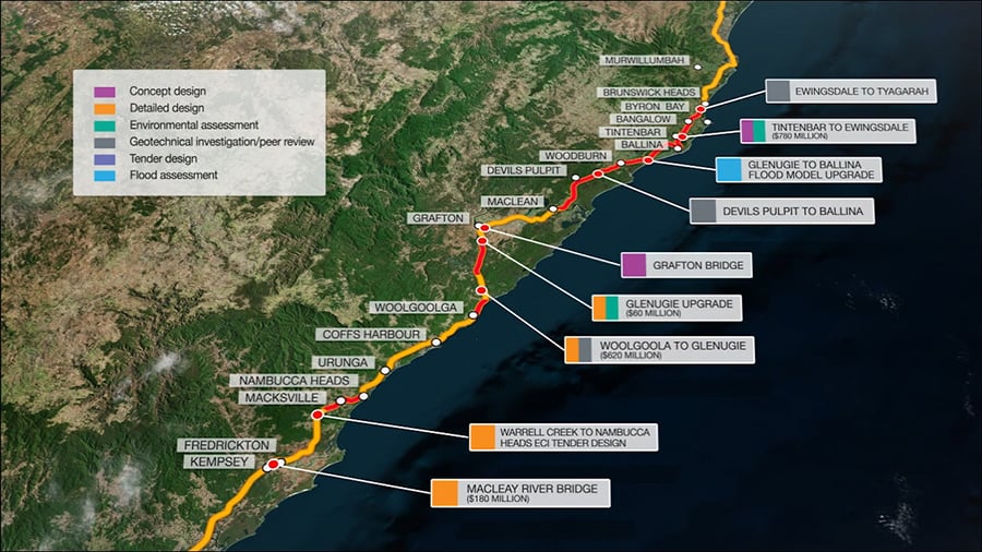
In a joint venture with Cardno, we have designed a 34 kilometre stretch of road from Devils Pulpit to Broadwater. It is part of the Woolgoolga to Ballina section of highway – the end of the upgrade masterplan for the Pacific Highway, which will see it successfully converted in its entirety to dual carriageway.
In a joint venture with Acciona Ferrovial (Pacifico), our design of Harwood Bridge pushes the boundaries of conventional bridge design. Building on our innovation at Warrell Creek to Nambucca, we are creating a similar structural solution.
Particularly challenging, this section of highway passes through numerous environmentally sensitive areas: the Clarence River floodplain, Broadwater National Park and a sugar cane growing area. We even had to design around koalas, ensuring habitat connectivity, and the Oxleyan Pigmy Perch, an endangered species. We applied ISCA (Infrastructure Sustainability Rating Tool) to our work to ensure we were doing all that we could, and engaged the community through our crowd sourced collaborative mapping tool.
To promote the use of 3D tools in the field of Highway engineering, we designed all elements using 3D software and outputted the entire design into a BIM model. We also created a web-based GIS system that can be updated in real-time and used by staff both in the field and office, via mobile devices.
These improvements to the highway will support regional development, providing safer, more efficient and reliable travel making a big impact on all the communities that it serves.
Safeguarding the environment
Almost two-thirds of this section of the highway, passes through National Park. Coupled with the flood plains, it meant that our team had to think imaginatively on ways to minimise disturbance. We developed specific construction techniques to remove impacts on the koala and the endangered species of perch, accommodating them during construction and for operation.
Flooding design
The upgraded highway crossed a major waterway, two floodways and a number of other minor watercourses.
Taking lessons learned from our work with floodplains on Warrell Creek to Nambucca, we quickly put in place measures to design around the soft soils – pre-loading the route so the highway, once constructed, would not sink.
We undertook detailed 2D flood modelling. It helped us to determine the impact of the highway on flood behaviour and to advise on the structural design of the bridges. The modelling was also used to inform the bridge scour assessments – as damage is caused by sediment in fast moving water – to make sure that the integrity of the bridge structures weren’t compromised during major flood events.
We designed over 100 culvert structures across smaller creeks and within floodplain areas. Some of these doubled as passage for local fauna – koala and similar. They featured ‘fauna furniture’ such as rocks, ropes, ledges and appropriate planting at the entrances, to facilitate the movement of species. Close attention was paid to ensuring that culvert scour protection was designed as ‘adaptable’. This meant that materials such as jute mesh and vegetation were used to further reduce the impact on the surrounding environment.