Geospatial services and earth observation by Arup; Geospatial services and earth observation by Arup;
Digital hub

Geospatial services and Earth observation

We help clients in public and private sectors to analyse and understand the physical world. It’s a powerful combination of science, human experience and data analytics – helping us to make better decisions about the planet.

Damien McLoud

Damien McCloud

Geospatial Leader

We help clients in public and private sectors to analyse and understand the physical world. It’s a powerful combination of science, human experience and data analytics – helping us to make better decisions about the planet.

Our geospatial services teams play a key role in many major infrastructure projects, establishing the physical constraints and opportunities within schemes like the UK’s High Speed 2 rail network or Crossrail. Our approach is data-driven from the start, establishing geospatial information to common standards, enabling efficient sharing and analysis across complex teams of suppliers. Fundamentally, geospatial services are an opportunity to bring together the needs of the built and natural environments and develop sustainable outcomes for the planet.

Every built environment project, from a masterplan for a city to a proposed new rail line, will rely on the use of geospatial data, it’s part of how we understand the interdependencies of space, systems and context. We see the ability to interrogate and visualise multiple and disparate datasets together as a way to achieve a deeper understanding of the space and the most appropriate and effective design choices.

Analysis at scale

Our work spans many scales and sectors, from property to city planning, transport to energy and water. Geospatial services produce outcomes ranging from designing an effective data architecture for projects to providing detailed analysis to build a business case for major urban development programmes. Our work informs decision making, building acceptance of a proposed design choice among clients and communities.

We approach each new project like a start-up, taking the opportunity to develop our own machine learning tools and apps. Recent work had led to the development of a new façade recognition tool, one that interprets street photography to classify and categorise the materials being used, identifying existing flaws, before specifying future maintenance needs.

Geospatial services: supporting multiple priorities

Shape transport projects

Shape transport projects

Investments in public transport continue to one of the best ways to grow a country’s economy while moving people away from polluting forms of transport. Geospatial services have a key role to play.

On the UK’s Great Western Main Line electrification programme, we used geospatial data skills to create a set of data visibility tools and processes to improve the accuracy and speed of the design and construction of the new overhead line equipment that was needed. This reduced health and safety risks and cut the programme by 13,667 working hours.

Deliver sustainable outcomes

Develop tools to deliver sustainable outcomes

Geospatial research and analytics can help establish the feasibility, form and commercial prospects of new infrastructure. Our approach also draws on the increasing power of machine learning based analysis.

Working for the UK Department of Business, Energy and Industrial Strategy we have developed a tool that can evaluate the wind power potential of the country’s entire coastline, before identifying the optimal location for offshore wind farms.

In Wales we have helped the government with a geospatial platform that can establish the wind/solar energy potential the country could generate.

Detailed city planning

Conduct detailed city planning

Geospatial analysis is fundamental to successful city planning and urban development.

Arup provided GIS services on the Abu Dhabi Capital Plan 2030, shaping a better future for the city state. Our GIS analyses comprised 800 data layers including interpolation, and route network analyses. We also developed a geospatial analysis tool to capture locations of capital investment projects from 35 government agencies across the country, helping leaders to evaluate future scenarios with confidence.

Find out more about masterplanning

Model climate threats

Model climate threats, improve national resilience

Geospatial analysis is increasingly important as nations attempt to bolster their resilience to threats like flooding, hurricanes or sea level rises.

In the UK we have designed an online tool to help clients to site wave energy structures, locating them nearest to ports and concrete manufacturing facilities, to support their offshore construction.

Find out how we're addressing climate change

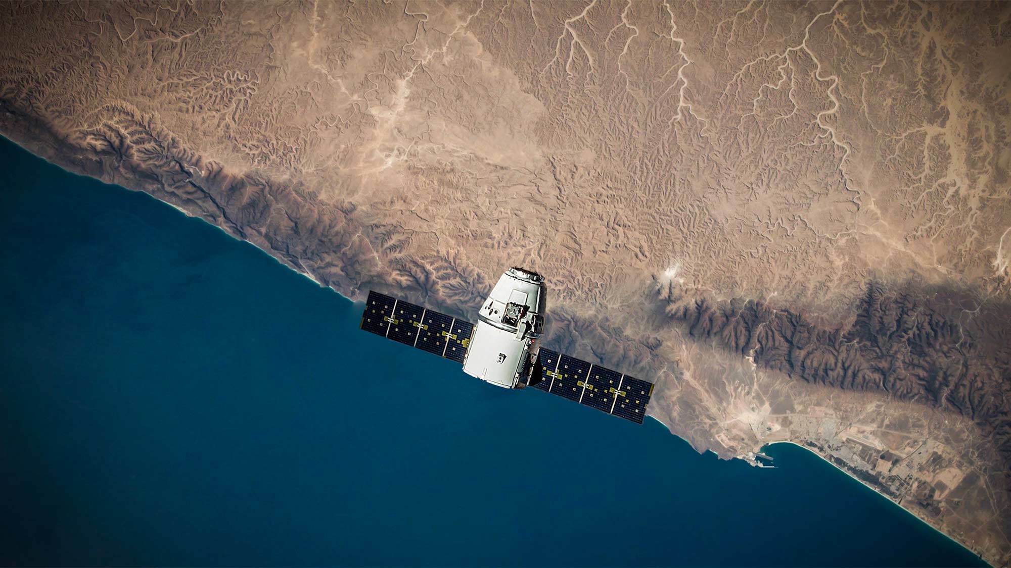
Earth observation - reading the planet

Arup also now provides a growing range of Earth observation or remote sensing services and geodata science services. Our teams make large scale use of satellite photography to carry out ecological surveys from space, reducing the need to travel, reducing time, cost and CO2 emissions. This means we can assess land use, analyse the permeability of surfaces and assess flood risks, helping decision makers to better understand the context they’re in and the choices they can make.

We have helped the UK to improve biodiversity net gain (BNG), in a partnership with the European Space Agency. BNG is becoming a mandatory planning requirement for most new development in England, fundamentally altering how biodiversity impacts development consents. Beyond mapping habitat distinctiveness, our service will look to assess aspects of habitat condition relative to reference sites and to identify changes over time that may be of conservation significance.

The UN’s Sustainable Development Goals share a clear requirement to ‘measure and record’ both problems and progress, geospatial services are only gaining in importance, bringing transparency and honesty to the issues the planet and communities face. As the world struggles to develop effective mitigations to climate change, geospatial services can help shape the most effective interventions and solutions.

Featured project

Remote sensing for flood protection in NYC

Almost every city would benefit from understanding how land and space are being developed and used in greater detail. We have worked with New York City Department of Environmental Protection to provide a geospatial analysis of changes to impervious land between 2010-19. The department is using the study’s findings to learn from recent decades and shape future stormwater and green infrastructure interventions.

Find out more about our work
Digital services Digital services