 ;
;

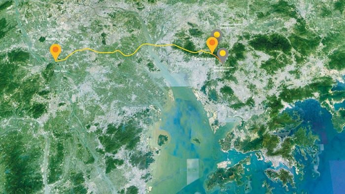
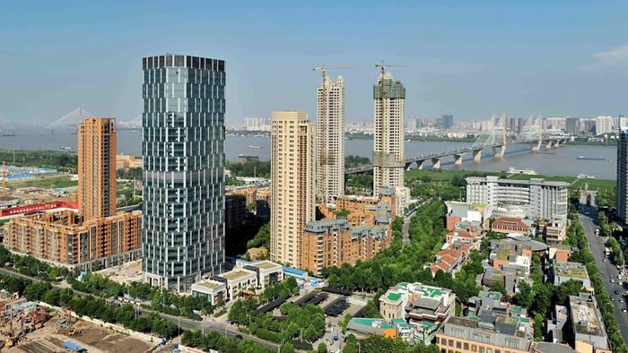
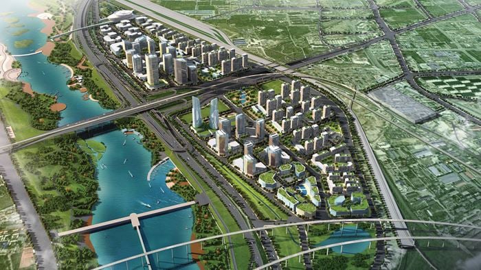
The city cluster in the Yangtze River Delta is one of the most developed and urbanised areas in China, and also one of the regions most vulnerable to climate hazards.
China's National Action Plan for Cities' Adaptation to Climate Change was issued in February 2016. In response, the delta's 26 cities need to better understand their climate challenges and improve the way they coordinate their policies. This will help them be better prepared for, and adapt to, climate change hazards.
The climate hazard and infrastructure risk assessment tool we developed will enable these cities to review their climate hazards and assess the likely impact on major infrastructure. Using this they will be able to prioritise areas for action.
Project Summary
1 climate hazard and infrastructure risk assessment tool
26cities in the region adopted the scheme
The assessment tool
Our tool enables users to understand current and future climate hazards, and the trends that will affect a specific city or region. It provides the baseline data to conduct analysis.
The tool also allows users to understand which elements of a city's infrastructure are most at risk and what the likely impacts could be. It helps cities to identify actions they can take to adapt or become more resilient, as well as to prioritise particular areas or infrastructure assets.