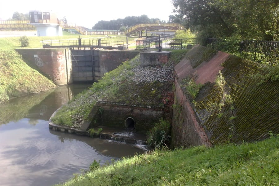
This project includes the flood risk assessment and condition of existing flood protection structures and facilities of Kedzierzyn-Kozle, municipality situated within a catchment of the Odra river which is approximately 8 km long within the municipality realm.
The Odra river poses the biggest risk of flooding to the public, together with its five tributaries, such as Golka, Lineta, Wiekszycka Woda, Doplyw spod Wiekszyc and Klodnica, and three channels such as Gliwicki Channel, Klodnicki Channel and Kedzierzynski Channel.
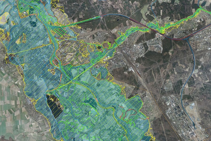
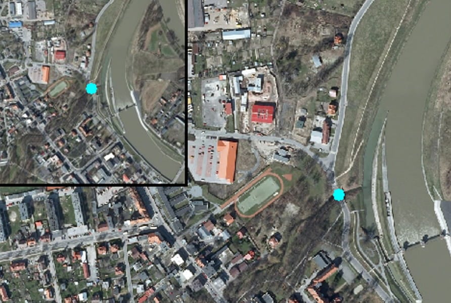
The project included the preparation of flood protection strategy for this area, such as flood scenarios, survey of existing flood protection facilities and plotting of risk zones on GIS platform.
The flood defence outlined identified areas and sections of the defence which could became a barrier to floodwaters, recommendations to increase flood safety and operational activities to be undertaken during flooding within the Kedzierzyn-Kozle Municipality realm.
Technical aspects
Fluvial modelling was conducted in HEC-RAS software along with GIS modelling, to establish areas that are at risk of flooding and to map the flood extent for high (10%), medium (1%) and low (0,2%) probability of a flood event.
The modelling process also included simulations of breach in flood walls and road embankments in certain areas.