 ;
;

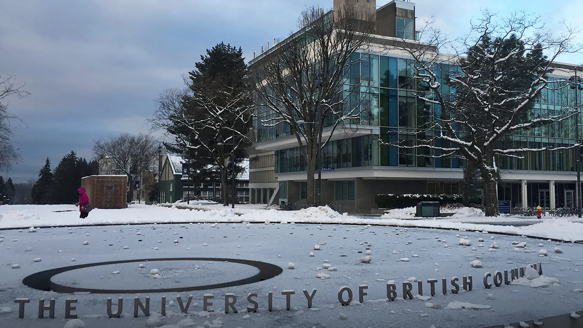
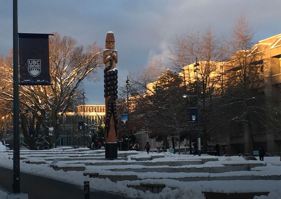
We’re using data analytics to help the University of British Columbia in Vancouver make key property decisions, including reducing seismic risk across their campus of 333 buildings.
Can you earthquake-proof a city? British Columbia may not be the first place that springs to mind when you think ‘earthquakes’, but the South Coast of B.C. is actually situated in what's known as the Cascadia subduction zone, an area where the ocean crust is trying to slide under the crust that North America sits on.
To develop this strategy, we implemented a digital insights tool
This brought together detailed information about every building in the portfolio, including occupancy, contents, operations, seismic vulnerability, suggested retrofits and corresponding costs. This enabled sophisticated risk assessment and cost-benefit analysis.
We used data to drive all our decisions
To identify high-risk buildings, we used digital tools to create a replica of various earthquake scenarios. This also allowed us to assess how long buildings would potentially be offline and which buildings might be candidates for retrofit or best suited to total decommissioning.
.jpg?h=1125&w=2000&hash=E32712AF008F980904C6DA94EBB0DBCE)
The University can now invest in their future
Replicating potential earthquake scenarios also meant we were able to advise the University on strategy and investment decisions for its complex portfolio. This use of data analytics can be applied to all property portfolios, turning detailed analysis into information that supports better decision making.
Related

