 ;
;

Our cities aren’t just concrete jungles. Every blade of grass, every tree, pond, lake and lump of soil together form vital infrastructure.
Cities need to commit to understanding and quantifying this natural infrastructure and learn how to enhance it.
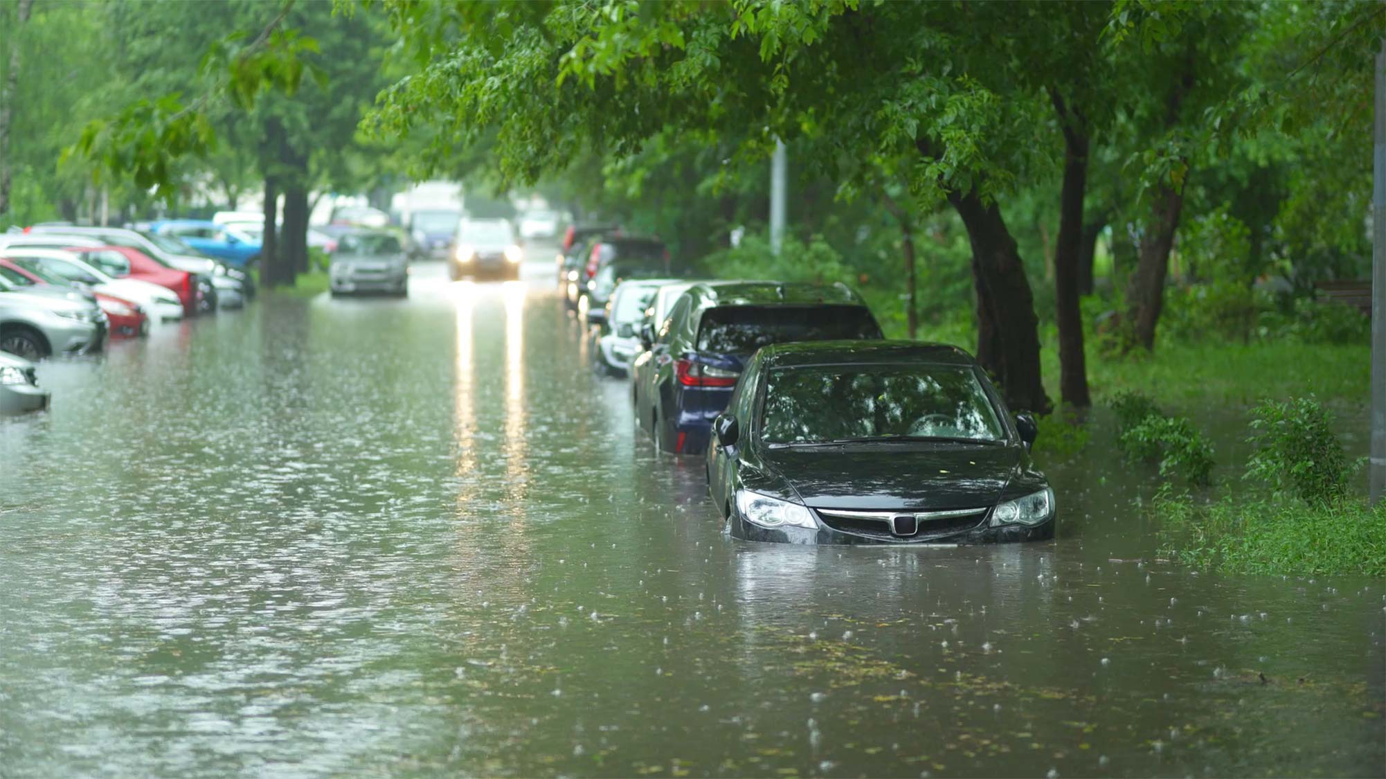
This is now more important than ever, as cities face increasing threats from climate change – including heavy rainfall and extreme heat events. According to the IPCC, 44% of all “disaster events” on earth have been flood related, and 700 million people live in regions where maximum daily rainfall has increased.
That’s why we’ve produced our Global Sponge Cities Snapshot: to get people talking about how we can move beyond concrete solutions, as we help cities cope with increasingly heavy rainfall and other impacts of climate change.
The case for nature based solutions
The term “Sponge City” was coined in 2013 by Professor Kongjian Yu of Peking University, describing cities that work with nature to absorb rainwater, instead of using concrete to channel it away.
Natural infrastructure is not only extremely effective in managing flood water, but also brings far wider benefits than traditional engineered ‘grey’ infrastructure and can contribute positively to biodiversity and carbon reduction.
While cities have a natural “sponge” quality, this is a baseline absorbency that can be improved through interventions.
Our survey is not intended as a score card, but to show cities how they can use digital tools to quickly establish a far better understanding of their natural assets. Even the most “spongy” cities can enhance their absorbency and work with nature to deliver maximum resilience.
Nature-based solutions can also be applied to a whole host of problems that climate change will bring such as extreme heat and drought. While they have previously been seen as more difficult to implement and prohibitively expensive, advanced digital tools have been a game changer.
How we rated cities “sponginess”
We examined seven cities across the world with different urban profiles – from the densely packed Mumbai to Auckland, which is known for its generous public parklands. Each city was given a sponginess rating based on three major factors: the amount of green and blue space within the urban environment; the hydrogeological properties of the soil in each city, and the water runoff potential for green areas.
1. Using Terrain to measure the amount of green and blue space
Terrain: our Artificial Intelligence and Machine Learning tool helps cities rapidly understand how land is being used. It harnesses the power of data analytics, machine learning and automation to accurately digest large quantities of data and satellite imagery – and is 80% quicker than a manual approach.
For this study, we used Terrain to calculate the amount of green and blue areas in approximately 150 square kilometre snapshots over the urban centres of Auckland, London, Mumbai, Nairobi, New York, Shanghai and Singapore.
2. Accounting for soil types
Once we had the percentage of blue, green and grey spaces for each city, we used a global database of hydrologic soil groups to calculate the amount of each major hydrological soil type in each city.
Soil types have a significant impact on the amount of water runoff and therefore a city’s sponginess. This can be due to soil type and texture – e.g. sandy soils are “spongier” than clay-based soils; as well as depth of soil and depth to the water table – for example, a groundwater table close to the surface reduces sponge capacity of the soil.
3. Calculating water runoff potential for green areas
With the impact of soil type factored in, we used the Curve Number method – a simple, widely used technique – to calculate the amount of runoff from a defined rainfall event. Imagine rain falling onto a surface: it’s either absorbed or ‘stored’ in the soil, or slowly makes its way to water bodies. Alternatively, it runs off the land and contributes to storm flow and potential flooding.
The amount of runoff is affected by vegetation cover – whether it’s a grass-covered open space or one covered by trees. It also varies depending on the amount of rain, so for our calculations we looked at the runoff potential for 50 mm of rain falling in a day.
We hope this snapshot starts a conversation and gives people an understanding and confidence that nature-based infrastructure solutions can be deployed, bringing more resilient, cleaner, healthier, and happier cities.